

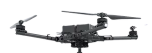
ALTA X
LiDAR


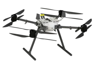
WATTS Prism Sky
LiDAR

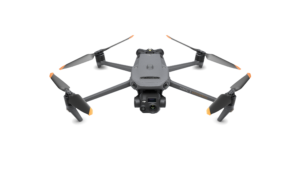
DJI Mavic 3E
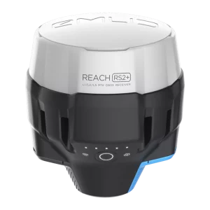
EMLID RS2+

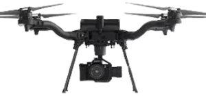
Freefly ASTRO
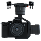
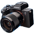
Sony A7R4
Freefly ASTRO
Sony A7R4
EMLID RS2+